El Niño Returns: What It Means for U.S. Weather and Hurricanes
Here’s the thing about climate patterns: they don’t just fade away; they swing back with a vengeance. NOAA, specifically its Climate Prediction Center, has issued a stark warning that El Niño is coming back—and it’s likely to stick around through the winter of 2026–27. For residents in the Southeast U.S., this isn't just academic chatter. It means wetter winters, fewer Atlantic hurricanes (but potentially more severe storms), and a significant shift in how we prepare for extreme weather.
The odds are stacking up quickly. Forecasters see an 82% chance of El Niño emerging by May–July 2026, jumping to a near-certain 96% probability for the December 2026–February 2027 window. That’s not a guess; it’s a statistical certainty based on ocean temperatures in the Equatorial Pacific. But what does that actually mean for your backyard? Let’s break it down.
The Hurricane Season Twist
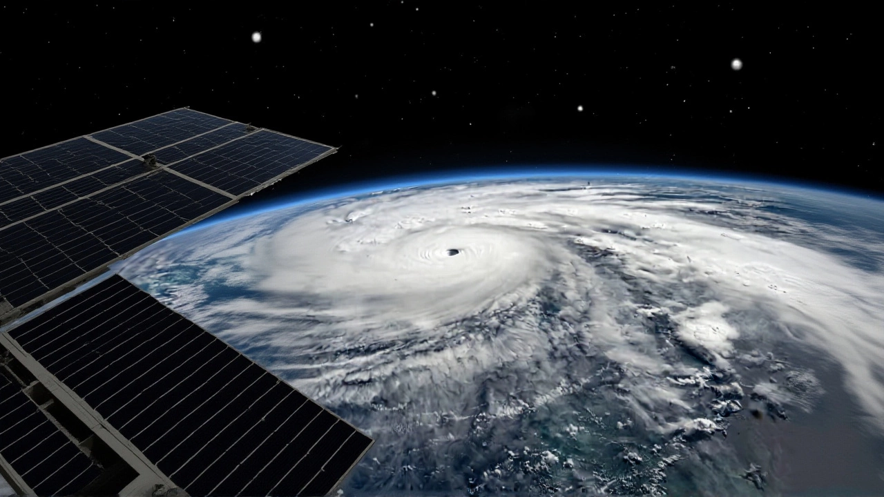
If you’re bracing for a monster hurricane season like we saw during La Niña years, take a deep breath. The data suggests otherwise. National Weather Service Tallahassee notes that El Niño increases vertical wind shear over the tropical Atlantic. Think of wind shear as a giant pair of scissors cutting off the tops of developing storms before they can organize.
Recent model analysis supports this. A European climate model predicts only 12.9 named storms for the Atlantic—rounding up to 13. Compare that to the long-term average of roughly 14.5 storms. It’s below normal. But here’s the catch: fewer storms doesn’t mean safer. As meteorologists often remind us, even a quiet season can produce one or two catastrophic events. The energy is still there; it’s just harder for systems to sustain themselves.
Southeast Storms and Flooding Risks
While the Atlantic might be quieter, the Southeast U.S. is in for a rough ride. El Niño shifts the subtropical jet stream southward, pulling moisture from the Pacific all the way across California, the Plains, and into Florida. This creates a "gigantic signal" of above-normal rainfall.
For Florida, this translates to:
- Higher Flood Risk: Persistent rain leads to saturated soils and overflowing rivers.
- More Severe Weather: Increased storminess raises the threat of tornadoes and damaging winds.
- Fewer Wildfires: Wet conditions suppress fire risk, which is a silver lining, but flooding becomes the primary hazard.
Historical data backs this up. Between 1950 and 2009, El Niño years averaged around 15 tornado reports per year in Florida—nearly double the number seen during neutral or La Niña periods. So, while you might not worry about a Category 5 hitting the coast, keep an eye on the sky for severe thunderstorms.

A Global Ripple Effect
This isn’t just a U.S. story. El Niño is a planetary thermostat reset. In South America, countries like Peru, Ecuador, and northern Chile typically face heavy flooding. Meanwhile, the Amazon basin can suffer from drought conditions. Down under, Australia often experiences drier conditions and increased wildfire risks as warm water shifts away from their coastlines toward South America.
In the northern U.S. and Canada, expect drier and warmer than usual conditions. The jet stream moves south, leaving the north relatively calm but packing a punch further down. This dichotomy—wet south, dry north—is the classic El Niño fingerprint.

What’s Next?
We are currently transitioning out of a brief La Niña phase into ENSO-neutral conditions. This neutral period lasts through the summer, making short-term forecasts tricky. However, the trajectory is clear. By late 2026, the pattern will solidify. Residents in the Gulf Coast and Southeast should start preparing now: check drainage systems, review flood insurance policies, and stay alert during winter storm seasons. The details of specific storm tracks remain unclear months in advance, but the broader trend is unmistakable.
Frequently Asked Questions
When will El Niño officially start?
According to NOAA’s Climate Prediction Center, there is an 82% chance El Niño will emerge between May and July 2026. The likelihood rises to 96% for the Northern Hemisphere winter of December 2026 through February 2027.
Will there be fewer hurricanes next year?
Yes, models predict a below-average number of Atlantic storms, estimating around 13 compared to the historical average of 14.5. This is due to increased vertical wind shear caused by El Niño, which disrupts storm formation. However, individual storms can still be intense and dangerous.
How does El Niño affect Florida weather?
Florida typically experiences above-average precipitation during Fall, Winter, and Spring. This increases the risk of flooding and severe weather, including tornadoes. Historical data shows nearly twice as many tornado reports in Florida during El Niño years compared to neutral conditions.
What are the global impacts of this event?
Globally, El Niño brings flooding to Peru, Ecuador, and northern Chile, while causing droughts in the Amazon and Australia. In the U.S., it leads to wetter conditions in the South and drier, warmer weather in the North and Pacific Northwest.